


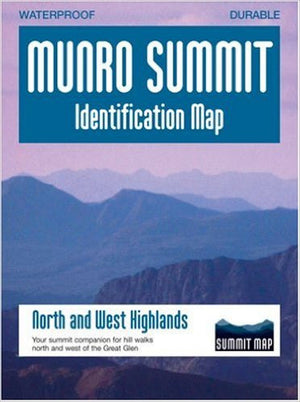
Munro Summit Identification Map – North and West Highlands
£3.00
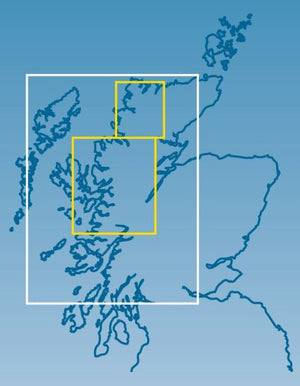
Covers the hills of Skye Cuillin, Glen Shiel Ridge, Five Sisters, Knoydart, Glen Affric, Torridon, An Teallach, Fannaichs, Ben More Assynt, Suilven, Stac Pollaidh and Ben Hope.
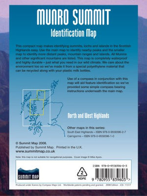
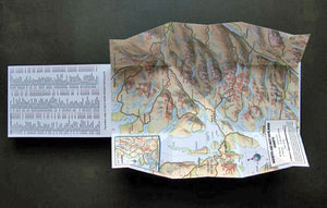
This compact map makes identifying summits, lochs and islands in the Scottish Highlands easy. Use the main pop up map to identify nearby peaks and the smaller map to identify more distant peaks, mountain ranges and islands. All Munros (Scottish mountains over 3000 feet) are listed. This map is completely waterproof and highly durable - just what you need in our wild climate. It is made from a special polyethelene material that can be recycled along with your plastic milk bottles.
Use of a compass in conjunction with this map will aid feature identification so some simple compass bearing instructions have been provided underneath the main map.
Size (folded): 160x110mm